Google Earth - Now we can fly!

go download it at GOOGLE EARTH for free.
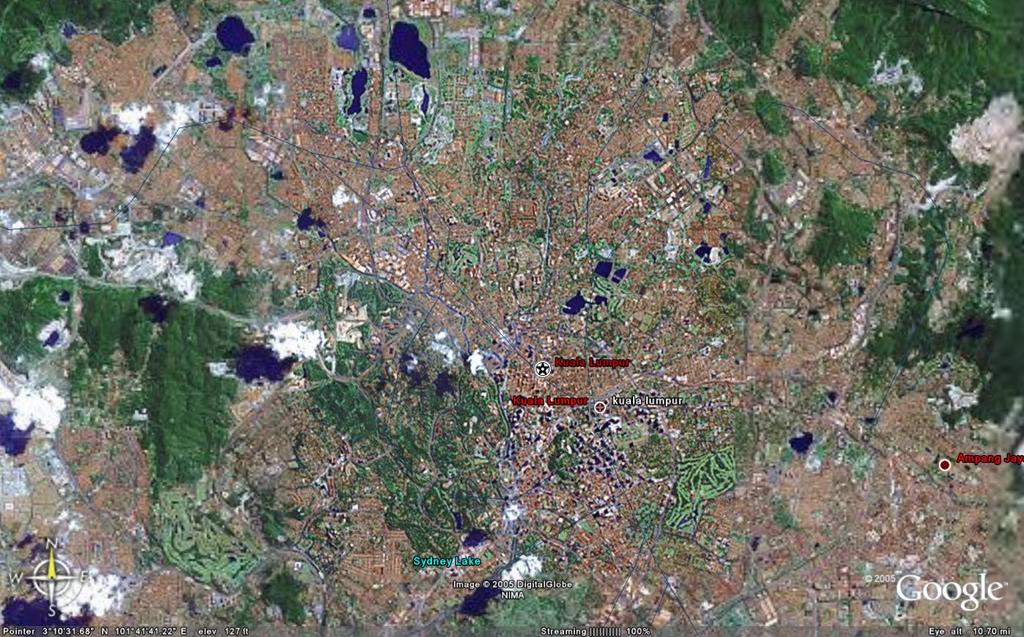
now i can fly to anywhere in the earth, swoop down to any building and see all the roads, buildings, as if i'm a pilot whether from 10 miles up or from 500 feet up...."shot" these KL north and KL south pics above.
this fantastic tool also allows me to save the map in whatever zoomed format for my use....
the more established cities/countries have more detailed features as i would imagine the satellite owners wouldn't be that much interested in batang kali as they would king's cross station...
i checked out the flats i used to live in in sussex gardens in london in 1969...they are still there!
the features allow you to tilt the mappings which makes the mountains and buildings three dimensional...
cool, cool, cool!!!
posted by Journeyman at 6:17 PM
![]()
![]()

1 Comments:
I'm loving it, too.
Post a Comment
<< Home